1961-SEP-28 |
1961-SEP-28 |
| Syrian Arab Republic : SAR | Governorate of HOMS | HOMS District | HOULA PLAIN Region | |
 |
 |  |  |
|
| (Damascus) | (Homs) | (Homs) | (Houla) |
 |
HOULA PLAIN Region |

|
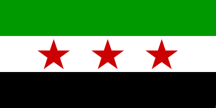
| Flag or Logo since 1961-09-28 | (Emblem or Symbol of SYRIA) |
 Maamun al-Kuzbari (ruler of SYRIA since 1961-09-28) |
| Capitals & administrative places: | Houla (Al-Ḥūlāh) |
|
| Official & national languages: |
|
| HOULA PLAIN | HOULA PLAIN Region (Houla) |
Other Independent or Semi-Independent Polities within the 2024's internationally recognized Country boundaries: |
| SYRIA | Syrian Arab Republic : SAR (Damascus) |
Other Territories or Entities within the 2024's internationally recognized Country boundaries: |
| GADOT | GADOT Demilitarized Zone (Gadot) |
| LAKE TIBERIAS | LAKE TIBERIAS Demilitarized Zones under United Nations Truce Supervision Organization (Ein Gev) |
| LATAKIA | Governorate of LATAKIA (Latakia) |
| PALESTINIAN REFUGEE CAMPS IN SYRIA | PALESTINIAN REFUGEE CAMPS IN SYRIA : UNRWA-United Nations Relief and Works Agency for Palestine Refugees in the Near East (Jaramana) |
| SULEYMAN SHAH TOMB | Enclave of the Land of Turk´s Tomb : TOMB OF SULEYMAN SHAH (Qalat Jabar) |
| TEL EL-QADI | TEL EL-QADI Demilitarized Zone (Tel El-Kadi) |
| |
|
|
ethnia.org © J.-M. Merklin |
|

|