1962-MAR-19 |
1962-MAR-19 |
| Republic of ECUADOR | COAST Region [Littoral Region] | |
 |
 |
|
| (San Francisco of Quito) | (Santiago of Guayaquil) |
 |
EL ORO Province |

|
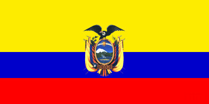
| Flag or Logo since 1900-01-01 | Emblem or Symbol |
 President Carlos Julio Arosemena Monroy (ruler of ECUADOR since 1961-11-07) |
| Capitals & administrative places: | San Antonio of Machala (San Antonio de Machala) |
|
| Official & national languages: | Spanish (es) . |
|
| ARENILLAS | ARENILLAS Canton (Arenillas) | Local: | Cantón ARENILLAS (es) (Arenillas) |
| EL GUABO | EL GUABO Canton (El Guabo) | Local: | Cantón EL GUABO (es) (El Guabo) |
| MACHALA | MACHALA Canton (San Antonio of Machala) | Local: | Cantón MACHALA (es) (San Antonio de Machala) |
| PASSAGE | PASAJE Canton (Passage of the Snows) | Local: | Cantón PASAJE (es) (Pasaje de las Nieves) |
| PINAS | PINAS Canton (Pinas) | Local: | Cantón PIÑAS (es) (Piñas) |
| SAINT ROSE | SANTA ROSA Canton (Saint Rose) | Local: | Cantón SANTA ROSA (es) (Santa Rosa) |
| ZARUMA | ZARUMA Canton (Villa Real of San Antonio of the Cerro of Oro of Zaruma) | Local: | Cantón ZARUMA (es) (Villa Real de San Antonio del Cerro de Oro de Zaruma) |
Other Independent or Semi-Independent Polities within the 2024's internationally recognized Country boundaries: |
| ECUADOR | Republic of ECUADOR (San Francisco of Quito) |
Other Territories or Entities within the 2024's internationally recognized Country boundaries: |
| CORDILLERA OF THE CONDOR | CORDILLERA OF THE CONDOR Disputed Zone (New Quito + Bellavista) |
| ECUADORIAN INDIANS | INDIAN Peoples of Ecuador ((San Francisco of Quito)) |
| GALAPAGOS | GALAPAGOS Territory (Asylum of Peace + San Cristobal) |
| UPPER CENEPA | UPPER CENEPA Area (Tiwinza) |
| |
|
|
ethnia.org © J.-M. Merklin |
|

|